
Home / Problems We Solve / Blind in the first hours of a disaster
Public safetyDisaster response drones: see the situation in the first hours
After a flood, earthquake or wildfire, roads and networks may be gone and nobody knows the full picture.
How do drones help after a flood or earthquake?
What separates a fast response from a slow one is knowing where people are and which routes are open. In the first hours, that information is often the hardest thing to get.
After a flood, earthquake or wildfire, roads may be cut and networks may be down. Decisions still have to be made, often with only scattered reports.
A drone gives command a view within minutes. It can map affected zones, search with a thermal camera and relay communications for teams on the ground.
Signs you have this problem
- Teams cannot reach the affected area quickly
- Command is working from scattered reports
- The mobile network is down or unreliable
- You have no pre-planned aerial capability for emergencies
What to look for
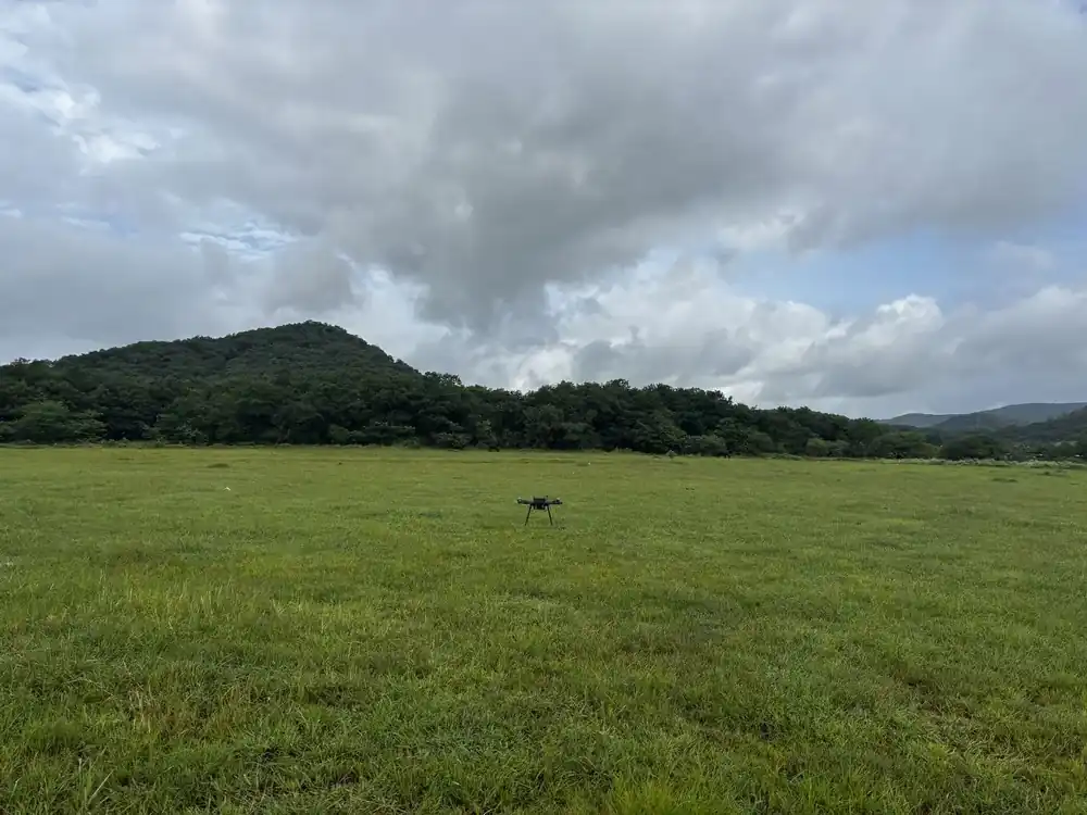
- Fast deployment from open ground
- Thermal search-and-rescue payload
- Mesh communications relay
- A live shared map at the command post
The main causes
Access
Damaged roads and water keep teams from reaching affected areas.
Communications
Towers and power can fail exactly when they are needed.
Time
Every hour without information delays the response.
Before and after
How to solve it, step by step
- 1
Deploy
Launch within minutes from any open ground.
- 2
Map
Map the affected zones and share them live.
- 3
Search
Use thermal imaging to locate survivors.
- 4
Connect
Relay communications where the network is down.
Common questions
How quickly can a drone deploy in a disaster?
Our platforms are designed to deploy within minutes. Plan and practise in advance, because real response time depends on your team and location.
Can drones find survivors?
Thermal imaging can help locate people, especially against a cooler background. Ground teams still confirm and carry out the rescue.
Can drones work without a mobile network?
Yes. Flight does not depend on mobile coverage, and a mesh relay can help connect teams where infrastructure is down.
Related problems
Finding missing people
Forests, hills and flooded land are slow to search on foot, and time matters.
Read moreNo network in the field
Remote terrain, border areas and disaster zones often have no coverage at all.
Read moreGPS jamming and spoofing
Satellite signals are easy to jam, spoof or block, and a drone that depends on them can drift or be lost.
Read moreFacing this problem?
Tell us about your mission and our engineers will suggest the right platform or configuration.