Home / Our Capabilities
Advanced Drone Solutions, Engineered for Every Mission
Indigenous UAV platforms engineered for defence, surveillance, mapping, inspection and industrial operations — with precision, reliability and advanced engineering.
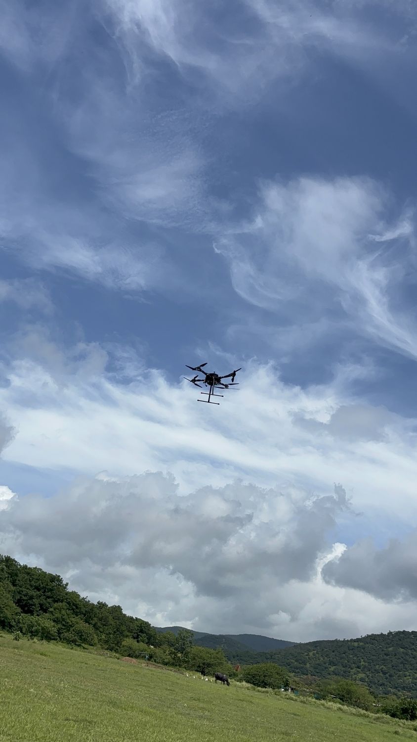
Real-time aerial intelligence
Security teams need eyes in the air that don’t require a pilot on constant standby. Our platforms provide persistent overwatch for public safety, border and perimeter security, crowd monitoring and situational awareness, with an encrypted video downlink to a hardened ground station keeping command informed in real time.
- EO/IR gimbal with 30× zoom and thermal imaging
- Automated patrol routes and geofenced no-fly zones
- Low-acoustic-signature airframe for discreet operation
- AES-encrypted command & video links
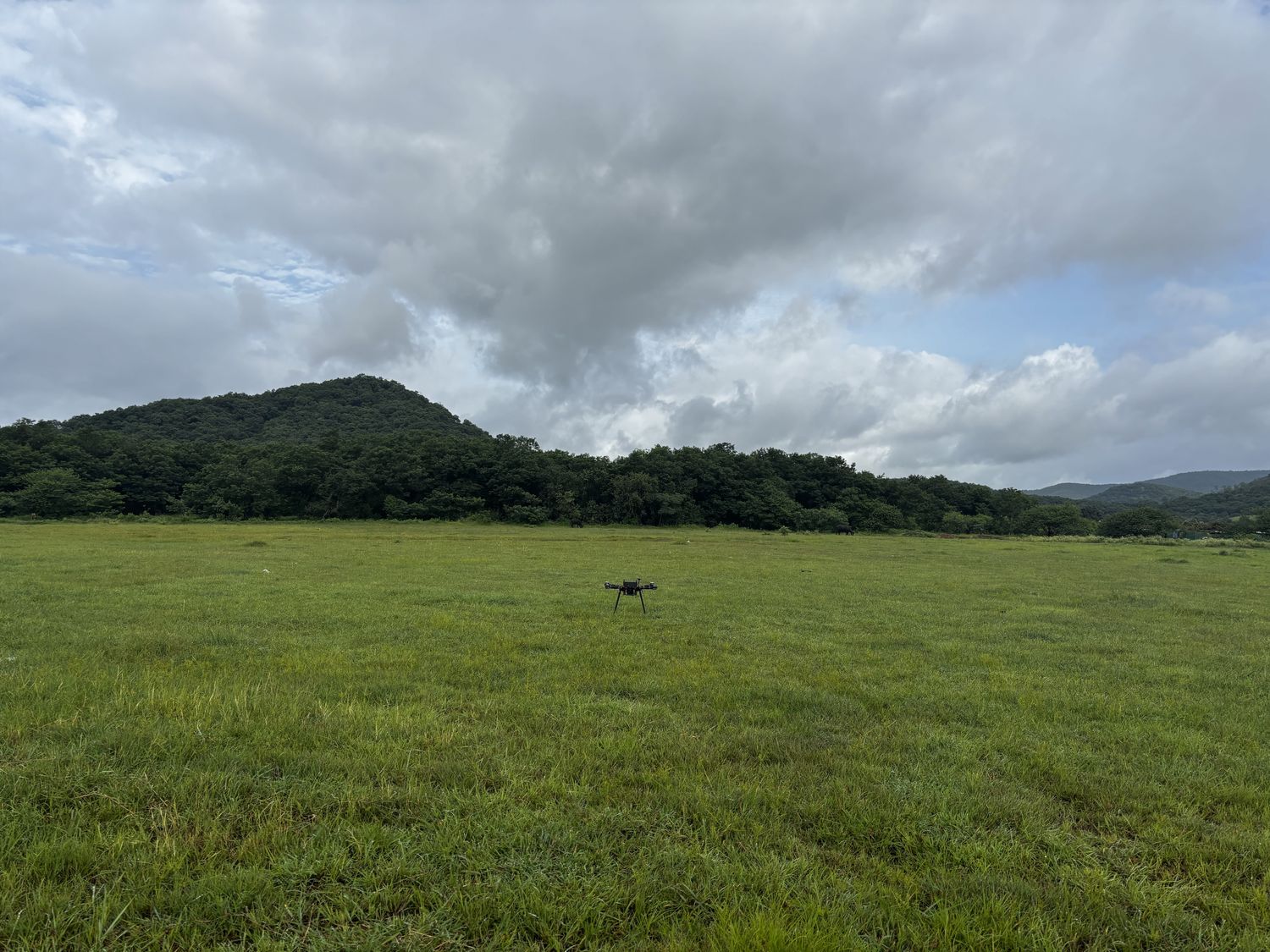
High-accuracy aerial mapping
A land survey that once took a field team days on foot can be flown in hours. We deliver GIS-grade orthomosaics, photogrammetry, LiDAR integration and terrain analysis for planning, land records, mining and infrastructure corridors — survey-grade output with RTK/PPK precision.
- Sub-centimetre RTK / PPK positioning
- LiDAR and multispectral payload options
- Automated grid and corridor mission planning
- Direct export to leading GIS / CAD workflows
Infrastructure inspection at scale
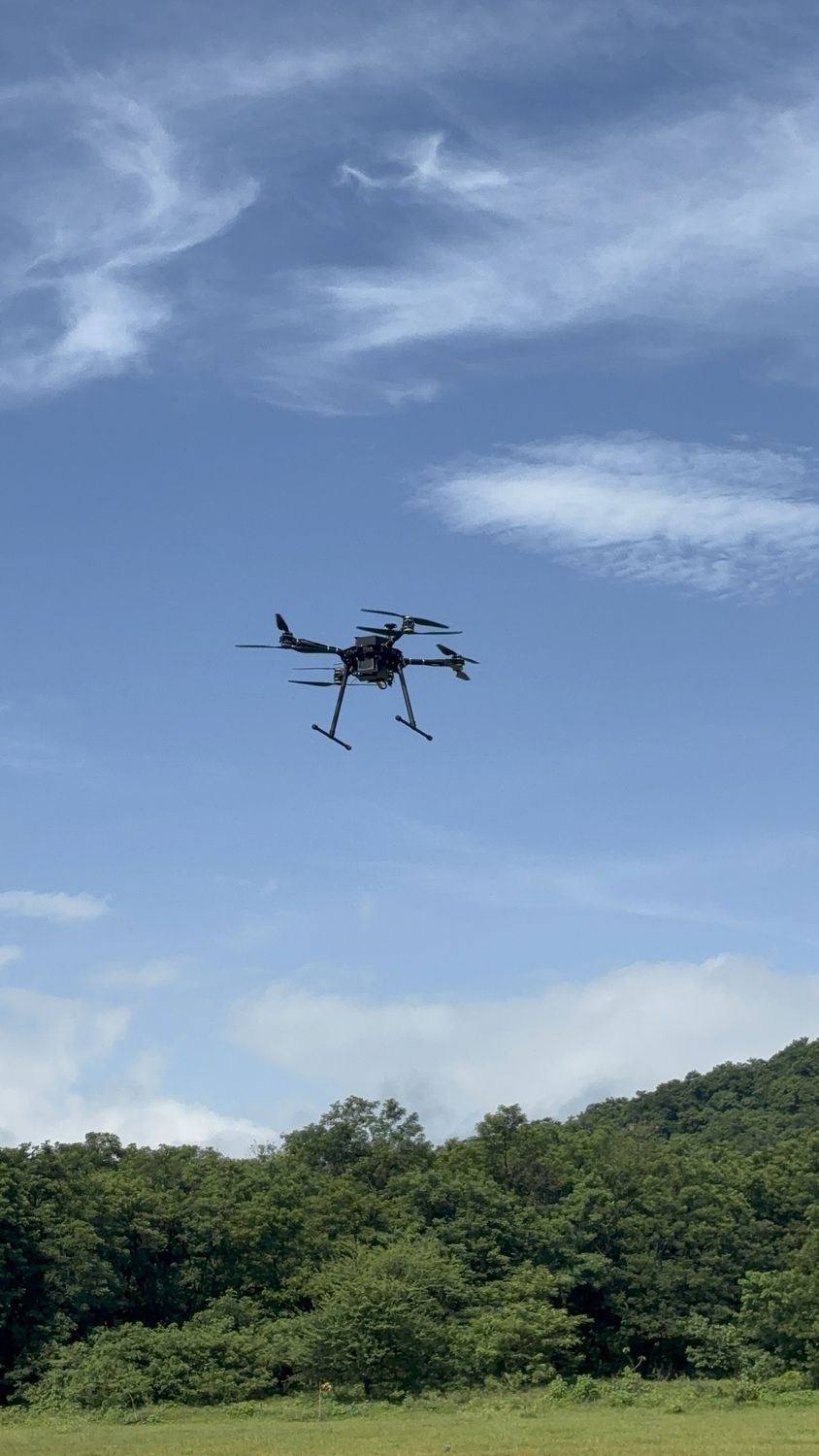
Climbing a transmission tower or shutting down a solar array just to inspect it is slow, costly and puts people at risk. Our platforms inspect power lines, solar plants, telecom towers, pipelines and industrial assets without shutdowns or rope access, and repeatable automated flights build a maintenance history over time.
- Thermal anomaly detection for solar and electrical assets
- Close-range obstacle avoidance for confined structures
- Automated repeat missions for change detection
- Structured inspection reports with tagged defects
Rapid situational awareness
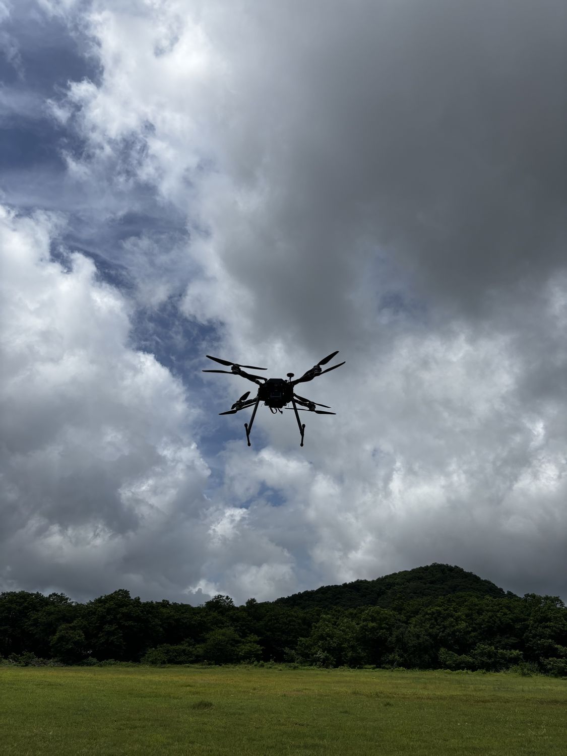
In the first hours after a flood, earthquake or wildfire, situational awareness is what separates a fast response from a slow one. Our platforms deploy within minutes — mapping affected zones, locating survivors with thermal imaging and relaying comms where ground infrastructure is down.
- All-weather airframe with wind tolerance to 45 km/h
- Thermal search-and-rescue payload
- Mesh comms relay for first-responder teams
- Live shared map for the incident command post
Flying when the satellites aren’t there
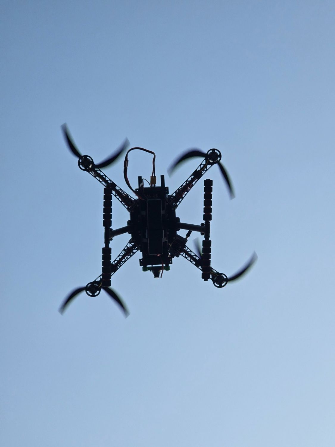
GNSS signals can be jammed, spoofed or simply blocked by terrain and structures, and a drone that depends on them is only as reliable as the sky above it. We build navigation that holds position and completes the mission without a satellite fix, by fusing inertial, visual and range sensing onboard.
- Visual-inertial odometry for position hold and route following
- Sensor fusion across IMU, barometer, optical flow and rangefinder
- Automatic fallback when GNSS is degraded or spoofed
- Return-to-home logic that doesn’t need a satellite lock
Eyes on the target, corrections in seconds
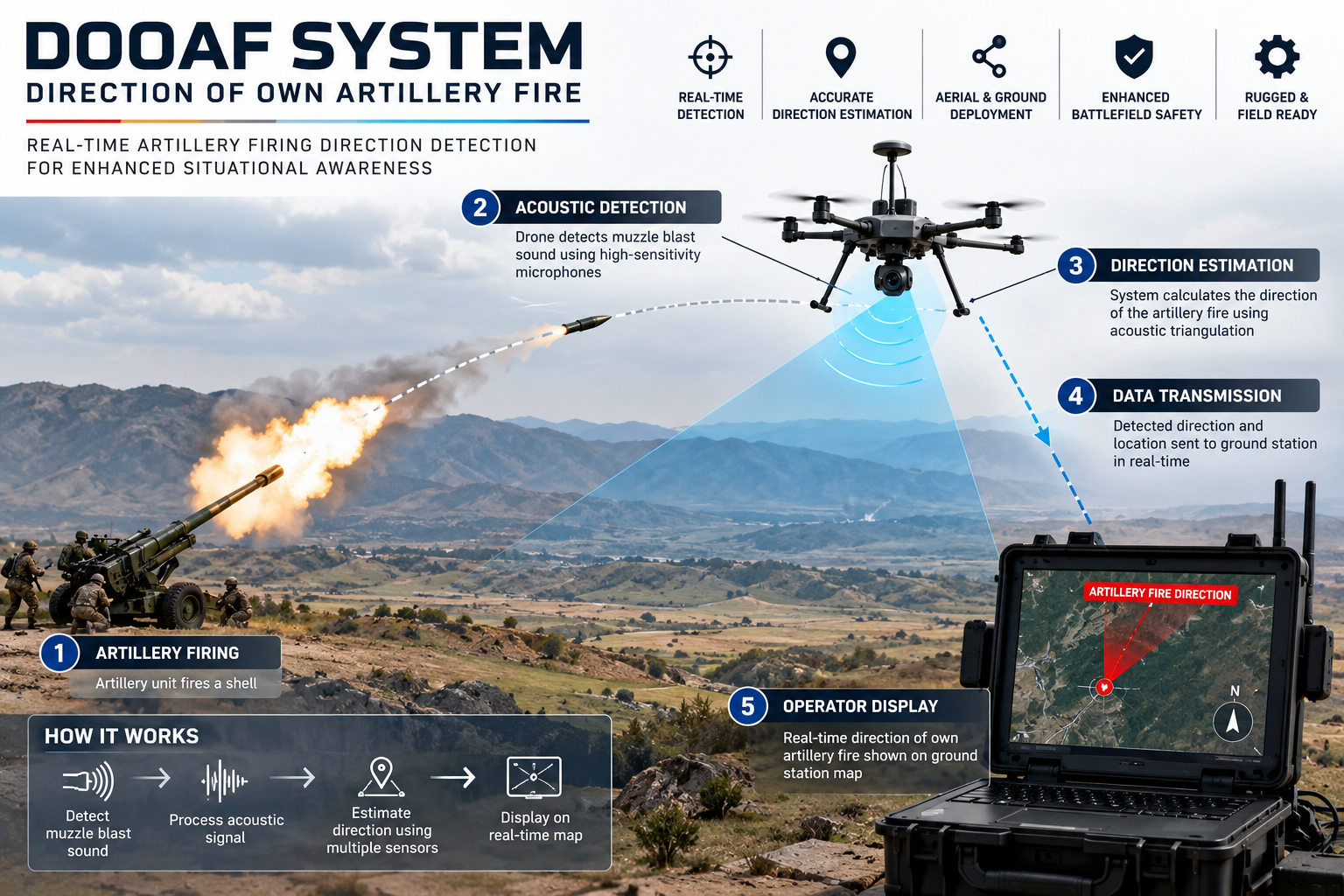
Directing friendly artillery fire means seeing where rounds land and passing corrections back fast, ideally without putting an observer forward. A UAV on station over the target area streams live imagery to the fire-direction team, so shots can be observed and adjusted from a safe distance.
- Live EO/IR video relayed to the fire-direction centre
- Target geolocation with coordinates from the ground station
- Fall-of-shot observation to support correction calls
- Encrypted command and video links, low-signature airframe
Onboard intelligence that flags what matters
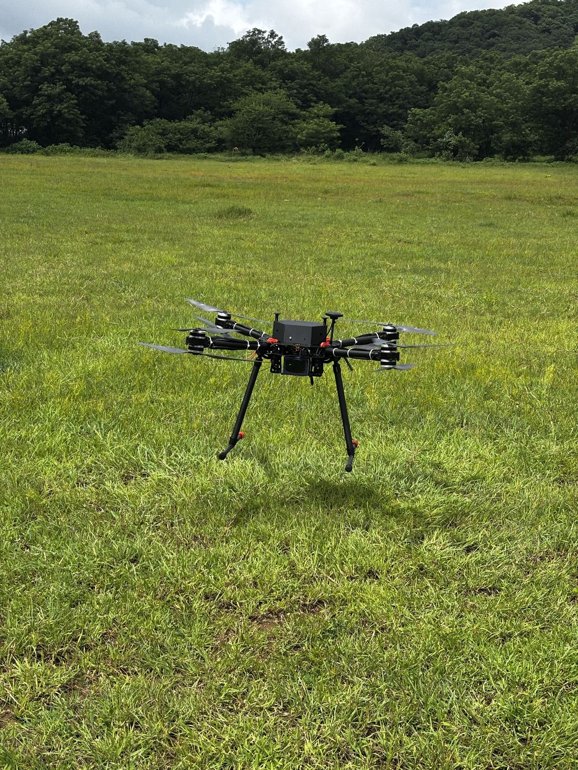
Hours of drone footage are useless if nobody has time to watch them. Our AI vision stack detects and tracks objects and flags anomalies in live and recorded payload video, processed on the device so the footage never has to leave your control.
- Object detection and tracking on live video
- Anomaly flagging for inspection and surveillance
- On-device processing, no cloud upload
- Pairs with the Decouvertes AI Vision App
Many drones, one mission
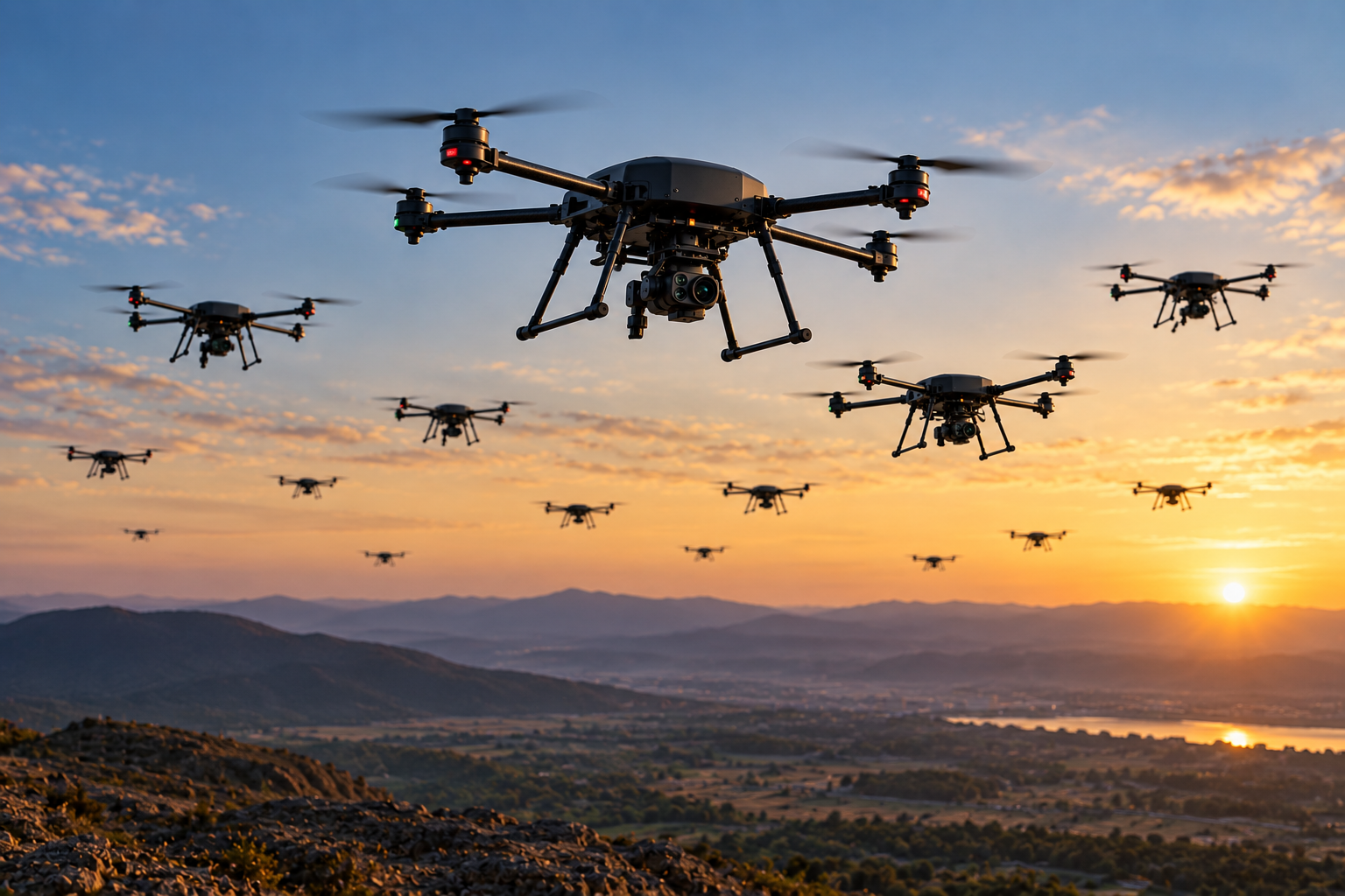
Some jobs are too large or too risky for a single aircraft. Coordinated multi-drone operations split a task across several vehicles, covering more ground, adding redundancy and giving one operator a single shared picture.
- Multi-vehicle coordination from one ground station
- Task splitting for wide-area search and mapping
- Shared situational picture across the fleet
- Graceful hand-over when a unit drops out
Persistent overwatch on a cable
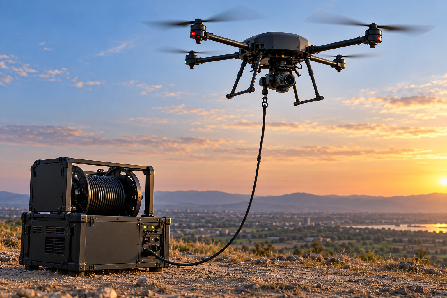
Battery life is the limit on every free-flying drone. A tethered system supplies power through the cable, so the aircraft can hold a fixed observation position for far longer, with a wired data link that doesn’t depend on radio.
- Continuous power through the tether for long-duration hover
- Secure wired data link, unaffected by RF jamming
- Fixed-position overwatch for perimeters, events and borders
- Rapid deployment from a vehicle or the ground
Learn to fly before the real thing
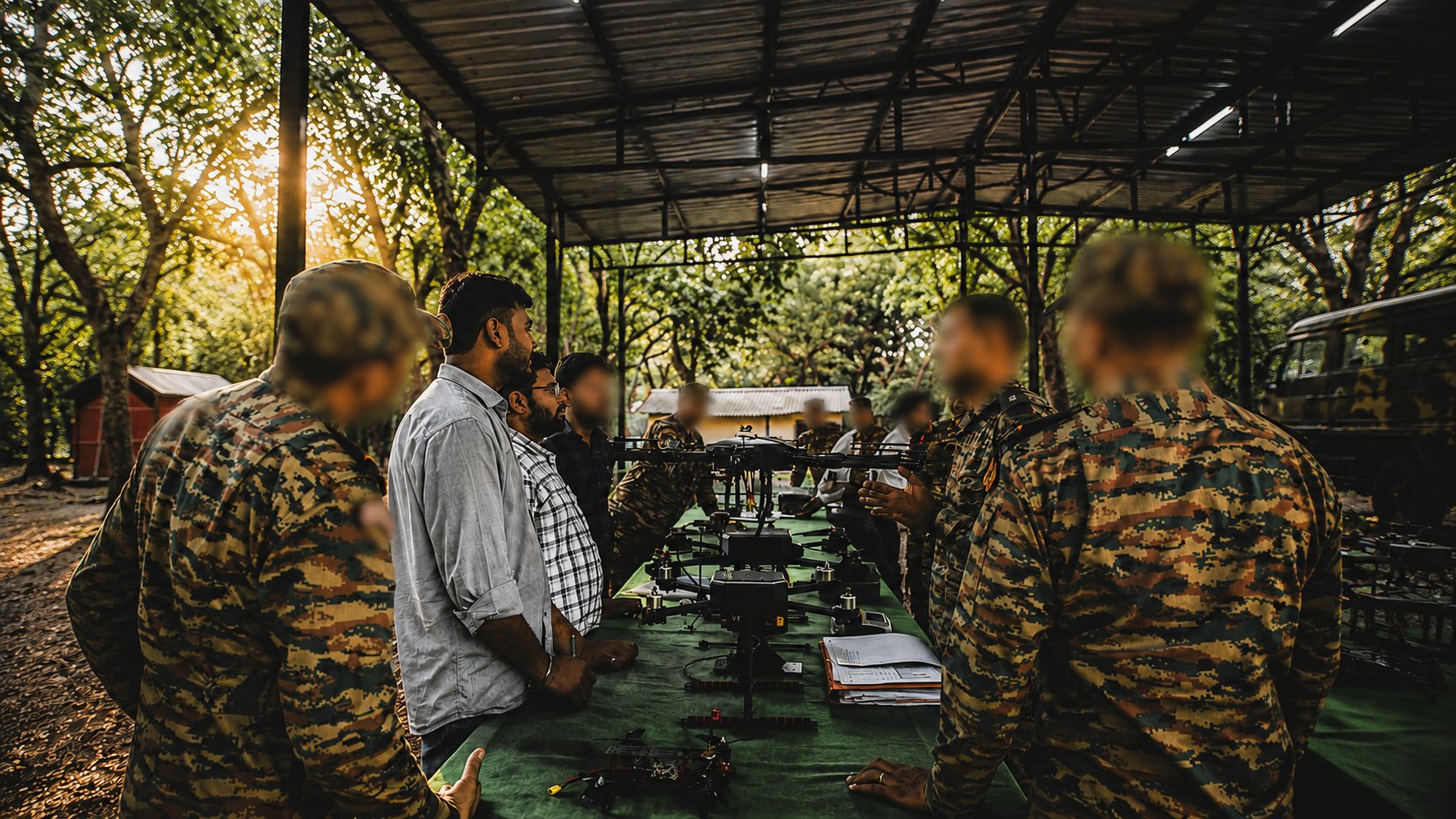
Crashing a mission-grade aircraft is an expensive way to learn. Our training drones give new operators and maintenance crews a rugged, forgiving platform to build flying skills and procedures before they move to operational systems.
- Rugged, low-cost airframes built to survive learning
- Beginner-friendly flight modes with safety limits
- Practice on the same ground station used in operations
- Structured exercises for pilots and maintainers
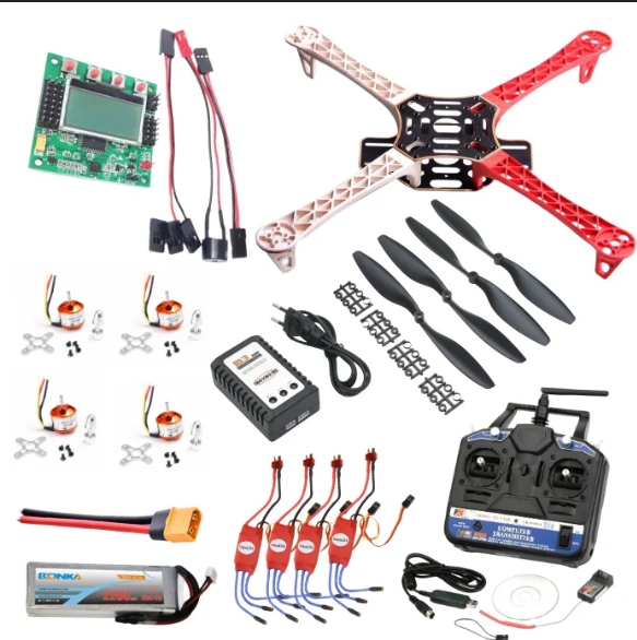
Build a drone, learn how it flies
The best way to understand a drone is to build one. Our education kit lets students assemble a working aircraft from its parts and learn aerodynamics, electronics, control and programming along the way.
- Airframe, motors and flight controller to assemble by hand
- Guided build for schools, colleges and labs
- Covers aerodynamics, electronics, control and code
- Supports STEM and skill-development programmes
Built to a common, dependable standard
Every configuration inherits the same core — redundant avionics, AES-encrypted links and a field-serviceable, single-operator design.
Tell us about your mission
Share your operational requirements and our engineering team will propose a platform and payload configuration tailored to the job.
Request a Consultation