A land survey that once took a field team days can now be flown in hours. But a good drone map depends on more than the aircraft. This guide covers what drone mapping produces, how accuracy is achieved and how to choose the right platform.
What a mapping flight produces
- Orthomosaic: a single, distortion-corrected aerial image of the whole site that can be measured like a map.
- Elevation models: a surface model (including buildings and trees) and a terrain model (bare ground), used for contours, cut-and-fill and drainage.
- 3D models and point clouds: for volumes, structures and corridor planning.
Photogrammetry or LiDAR?
Photogrammetry stitches hundreds of overlapping photos into a map and 3D model. It is cost-effective and gives a true-colour result, and works best over open ground.
LiDAR measures distance with laser pulses. Some pulses pass through gaps in vegetation, so it can map the ground under tree cover, but the sensor is heavier and more expensive. Choose LiDAR when you need the terrain under canopy; choose photogrammetry for most open-area surveys.
Getting accurate results
Positioning: GCPs, RTK and PPK
Standard drone GPS is accurate to a few metres, which is not enough for survey work. Accuracy is improved with ground control points (GCPs) measured on site, or with RTK or PPK correction, which corrects the drone’s position in real time or after the flight. RTK/PPK can reduce how many ground control points you need to place.
Ground sample distance
Ground sample distance (GSD) is how much ground one pixel covers. Flying lower or using a higher-resolution camera gives a smaller GSD and more detail, but needs more flight time to cover the same area. Set the GSD from the accuracy the project needs, not the other way round.
Overlap
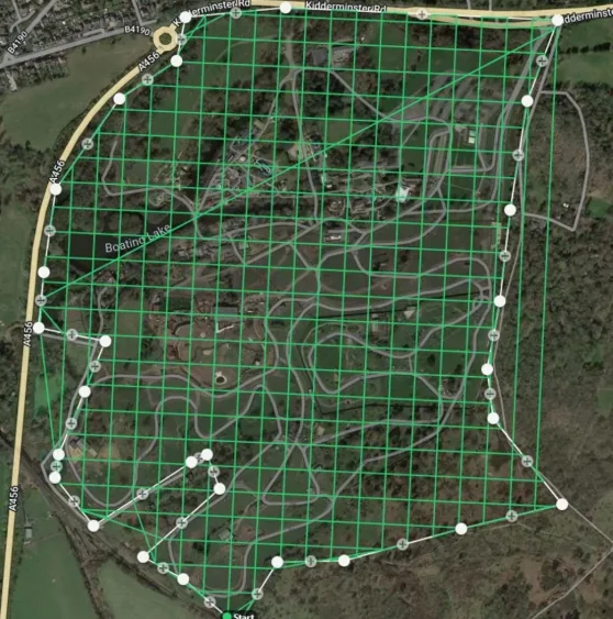
Photos must overlap heavily, both along the flight line and between lines, so the software can match them. Mission-planning software calculates the grid automatically from your altitude, overlap and camera.
Which drone for which survey?
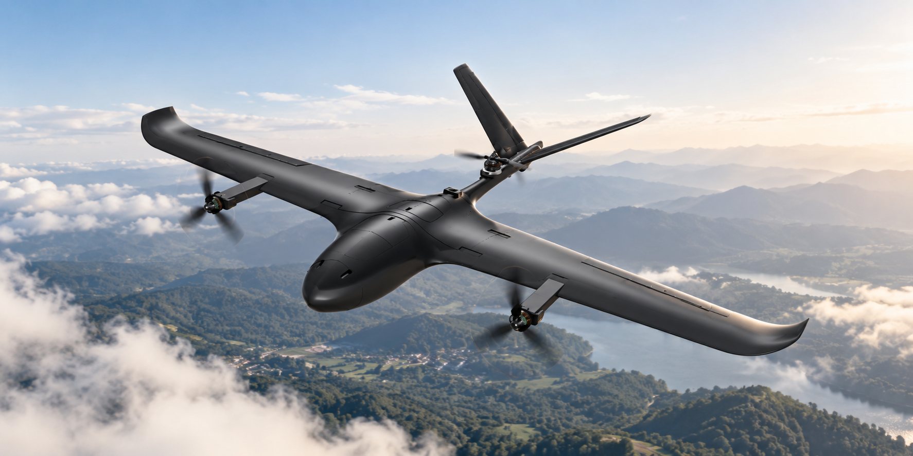
For small sites, a multirotor is simple to deploy and can fly low for fine detail. For large areas and long corridors such as roads, canals, pipelines and power lines, a VTOL fixed-wing UAV covers far more ground per flight without needing a runway. Our guide on VTOL fixed-wing vs multirotor drones explains the trade-off in detail.
Vision 3.0 is our VTOL fixed-wing UAV with up to 50 km range, and Vision 4.0 carries up to 5 kg for heavier sensors such as LiDAR. See our survey and mapping capability for RTK/PPK, LiDAR and multispectral options and GIS/CAD export.
A simple mapping workflow
- Define the area, accuracy and deliverables.
- Plan the grid or corridor mission: altitude, GSD and overlap.
- Place and measure ground control points if needed.
- Fly, check image coverage on site, and re-fly any gaps.
- Process the images and check accuracy against checkpoints.
- Export to your GIS or CAD software.